Spatial land-unit tracking and soil carbon MRV.
Manage parcel polygons, agronomic management logs, laboratory soil organic carbon (SOC) assays, and remote-sensing context across agricultural and agroforestry projects.
Bridging field agronomy, spatial boundaries, and soil laboratory data.
Agricultural land management, rice water management, and agroforestry projects involve complex spatial and temporal records. A single project may encompass dozens or hundreds of individual farm parcels (land units), each with historical baseline practices, seasonal tillage and fertilizer records, cover-crop planting dates, and stratified soil sampling cores.
When parcel boundaries overlap, soil sample IDs cannot be matched to GPS coordinates, or baseline land-use eligibility checks are missing, verification bodies cannot validate soil organic carbon stock changes.
Supporting day-to-day agriculture & land use operations.
Land-Unit Polygon & Boundary Management
Define project boundaries and register individual parcel land units with PostGIS area calculations and spatial overlap screening.
Agronomic Practice & Field Activity Capture
Record tillage adjustments, cover cropping, organic amendment applications, grazing schedules, and tree planting observations per land unit.
Soil Core Sampling & Laboratory Assay Linkage
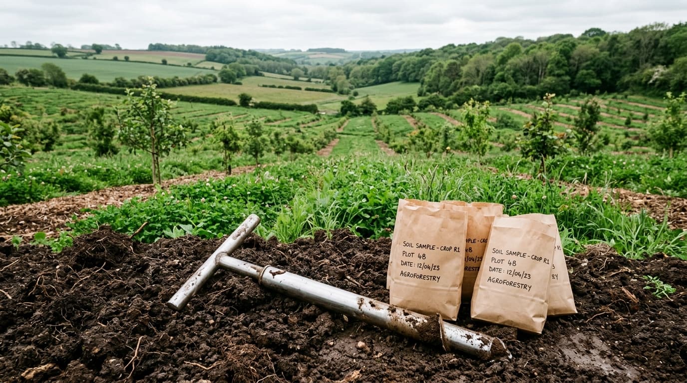
Track soil sample collection coordinates, sampling depths (e.g., 0–30 cm), bulk density measurements, and laboratory organic carbon percentages.
Earth Observation & Baseline Screening
Link land units to historical land-cover assessments and vegetation index monitoring to substantiate baseline eligibility.
Field records and supporting documents.
Verified GeoJSON polygon boundaries for each registered land unit, hectare area, soil texture/climate stratification, and land-tenure documentation.
Historical baseline cultivation logs alongside timestamped field evidence of improved practices (reduced tillage, residue retention, organic inputs, or water regime changes).
Georeferenced soil core IDs, sampling depth intervals, dry bulk density values, and laboratory analytical certificates.
Current capability scope
Agriculture & Land Use is a core supported sector in VeriField Nexus with dedicated PostGIS land-unit schemas, soil sampling records, and calculation support.
- Verra VM0042 (Improved Agricultural Land Management v2.2): Supported with full MRV schemas, soil sample workflows, and calculation pathways.
- Verra VM0051 (Improved Management in Rice Production Systems v1.1) & VM0047 (Afforestation, Reforestation, and Revegetation v1.1): Supported for MRV evidence collection and spatial monitoring.
- Verra VM0032 (Sustainable Grasslands v1.0): Included in the platform catalog as a reference framework.
- Organizations may also register an Agriculture & Land Use workspace without immediately selecting a methodology while conducting initial farm boundary and baseline assessments.
Bring your next climate project into focus.
Request an organization workspace for your project team, or speak with us about your field monitoring and reporting needs.