Moving beyond single point coordinates
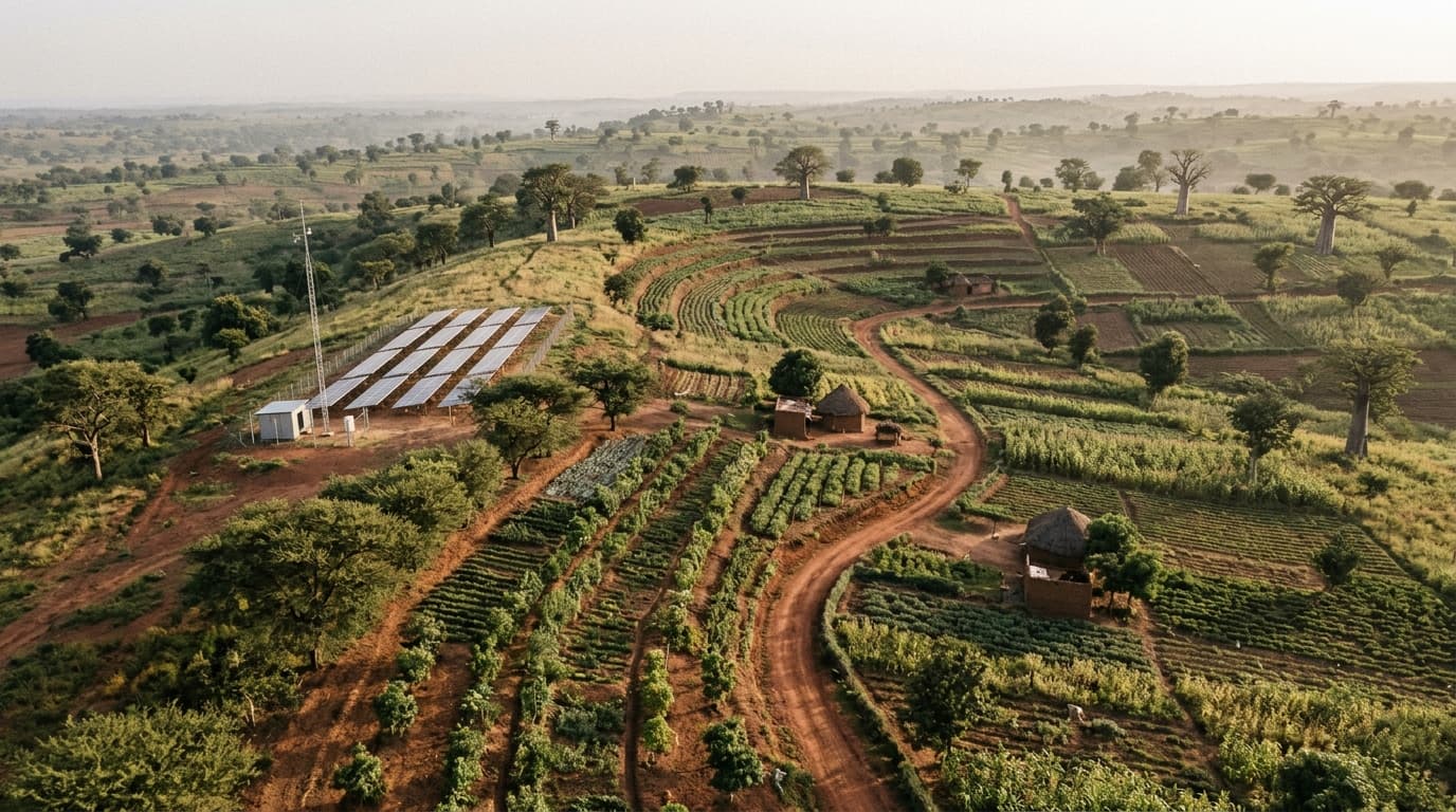
A single GPS pin can show where a field officer stood, but land-based and infrastructure projects almost always operate across defined boundaries—such as individual farm parcels, reforestation blocks, or mini-grid service zones.
Without clear polygon boundaries for each land unit, it is easy for two field records to be logged against the wrong plot or for neighboring parcels to overlap on paper.
Subdividing projects into manageable land units
Organizing a project perimeter into numbered land units gives both field teams and project managers a shared map reference. Field activities, soil sampling campaigns, and site inspections can then be assigned directly to the corresponding parcel.
Automated boundary checks can also alert reviewers when an incoming field submission falls outside the registered project area, catching location errors before they enter a report.
Keeping spatial records ready for inspection
When project boundaries, land units, and field observations live in the same workspace, teams do not need to manually export and reconcile separate GIS files every time a progress report is due.